Lease Plans
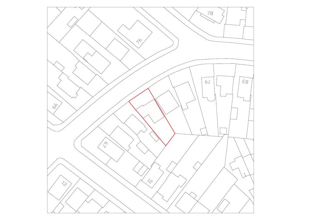
A Lease plan will identify the demise within a property by producing floor plans, using Measured Building or Topographical Surveys. this will include any shared area’s which affect the property and any access to it.
Our plan will show your property outlined in red, with any common-parts, or shared area’s outlined in green. Accompanying the drawing will include an Ordnance Survey plan, therefore locating the property position, and the surrounding buildings.
Land Registry Compliant Plans
Obtaining a land registry compliant plan is extremely important when you’re in the process of buying or selling land. After we have mapped out an area of land using a Topographical Survey, we can produce documents that are used to register a specific piece of land. This can be done with the Ordnance Survey.
The information we collect will be used to update your title deeds, check the accuracy if there’s any conflicting evidence, or accompany other documents needed for the registration.

