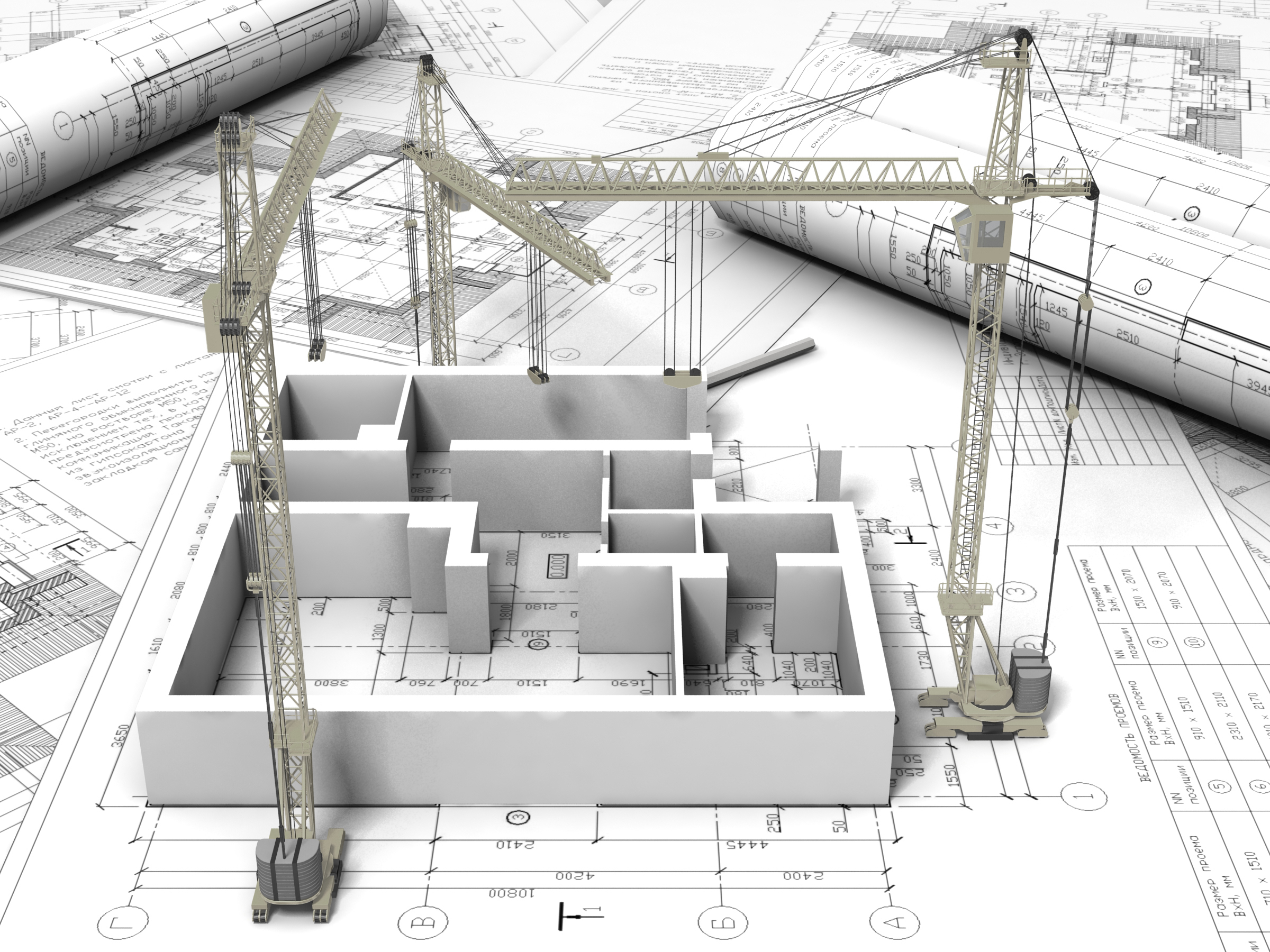
The Start Of A Project
Land Surveying is an essential part of the building and development process. The information gathered enables us to map out land, which can used in the creation of commercial or private projects.
As Surveyors, we often enter the process at the beginning stages, to map out the land and record any natural or man-made features and contours. This is achieved using the latest equipment and technology, such as Total Stations, Scanners, GPS receivers and CAD software. It is through these techniques that we can take all of the data recorded, and produce plans that can be used to help begin development.
Architects, Developers, Private individuals, make use of Topographical Surveys and Measured Building Surveys to aid in Home Extensions, House Design and Renovations, Contouring portions of land that has been purchased, for development purposes, Setting Out proposed buildings, ready for construction among other projects.
Landlords and Estate Agency’s will also use this service to help create Lease Plans or Land Registry Compliant Plans for any land they own, which can then be used to register with Ordnance Survey.

